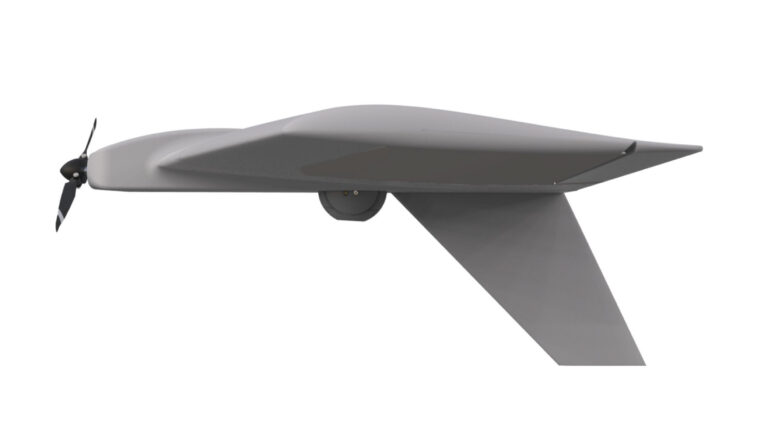
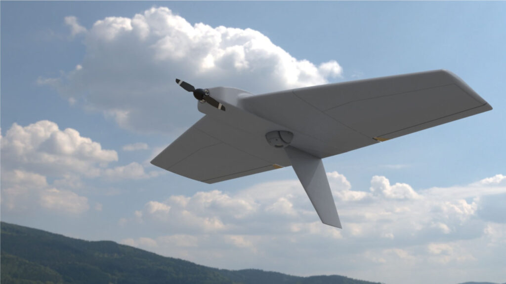
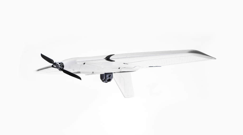
Sparrow II
Sparrow II
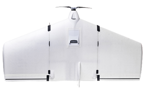
Sparrow II
The UAV offers multiple configuration options to adapt its technical capabilities to diverse mission types. As a flexible and universal platform, it can be deployed for various applications:
- Surveyor
Captures high-quality photo and video data during missions, transmitting it in real time to the operator for monitoring infrastructure, environmental conditions, or agricultural areas
- Electronic Detector
Detects and identifies electronic signals from industrial equipment, communication towers, or search-and-rescue beacons.
- Silent Surveyor
Performs internal photo/video documentation without live transmission, ideal for discreet inspection tasks such as wildlife monitoring or urban surveying.
- Searcher
Conducts high-resolution, wide-area surveillance missions for land management, environmental research, or disaster response.
- Forward Observe
Provides real-time video observation and can assist in coordinating activities during rescue operations, firefighting efforts, or environmental monitoring.
- Relay station
Serves as a MESH network node to extend communication coverage in remote or hard-to-reach areas.
Weight
1,5 to 3 kg
FLIGHT DURATION
Up to 2 hours
SPEED
15 to 30 m/s
Communication range
Up to 30 km
Mission range
Up to 110 km
Number of control channels
Up to 5 channels
Number of operators
One
Launch
Hand-launched
Landing
Parachute
Compatibility
Easy integration with any control systems
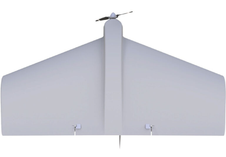
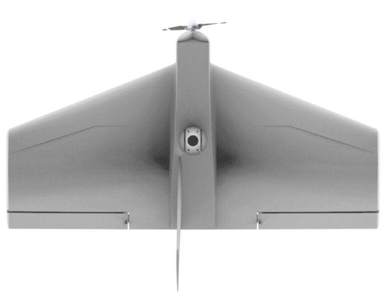
Design
Modular
Packaging
One backpack
Antenna extension by the operator
Up to 500 meters
Deployment speed
Up to 5 minutes
Stability
All-weather
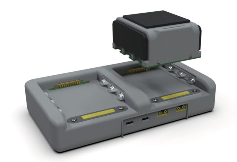
The UAV's modular architecture enables rapid deployment and easy replacement of mission-specific modules directly in the field — without requiring specialized training. Its universal mounting interfaces and standardized protocols (such as UAV-CAN) allow quick configuration for a wide range of civilian applications without additional modifications.
The drone can be seamlessly adapted for tasks such as infrastructure inspection, environmental monitoring, agricultural surveying, and search-and-rescue operations.

Operators can simultaneously perform multiple mission types using a single UAV platform. For example, the drone can collect aerial imagery while monitoring environmental parameters or conducting communication relay tasks, optimizing mission efficiency.
The UAV can be operated via external compatible ground stations. In specific configurations, mission planning and data collection can also be managed through a smartphone or tablet equipped with specialized software — providing flexibility for operations in remote or dynamic environments.
For missions such as precision surveying, search-and-rescue coordination, or critical infrastructure inspection, the system can be upgraded with a full control terminal for advanced payload management.
Two communication options are available:
- a secure, anti-jamming link for high-risk missions,
- a simplified version for standard operations.
This flexibility ensures reliable data transmission even in challenging conditions.
The UAV integrates self-diagnostic systems and continuous monitoring of onboard processes to enhance reliability and ensure mission success.
Key safety features include:
Control surface load monitoring, which can detect potential issues such as icing,
Advanced battery management, providing accurate remaining flight time estimates and early warnings to prevent mission disruptions.
This robust design guarantees operational stability, safety, and efficiency across diverse civilian applications.
Printed version of information